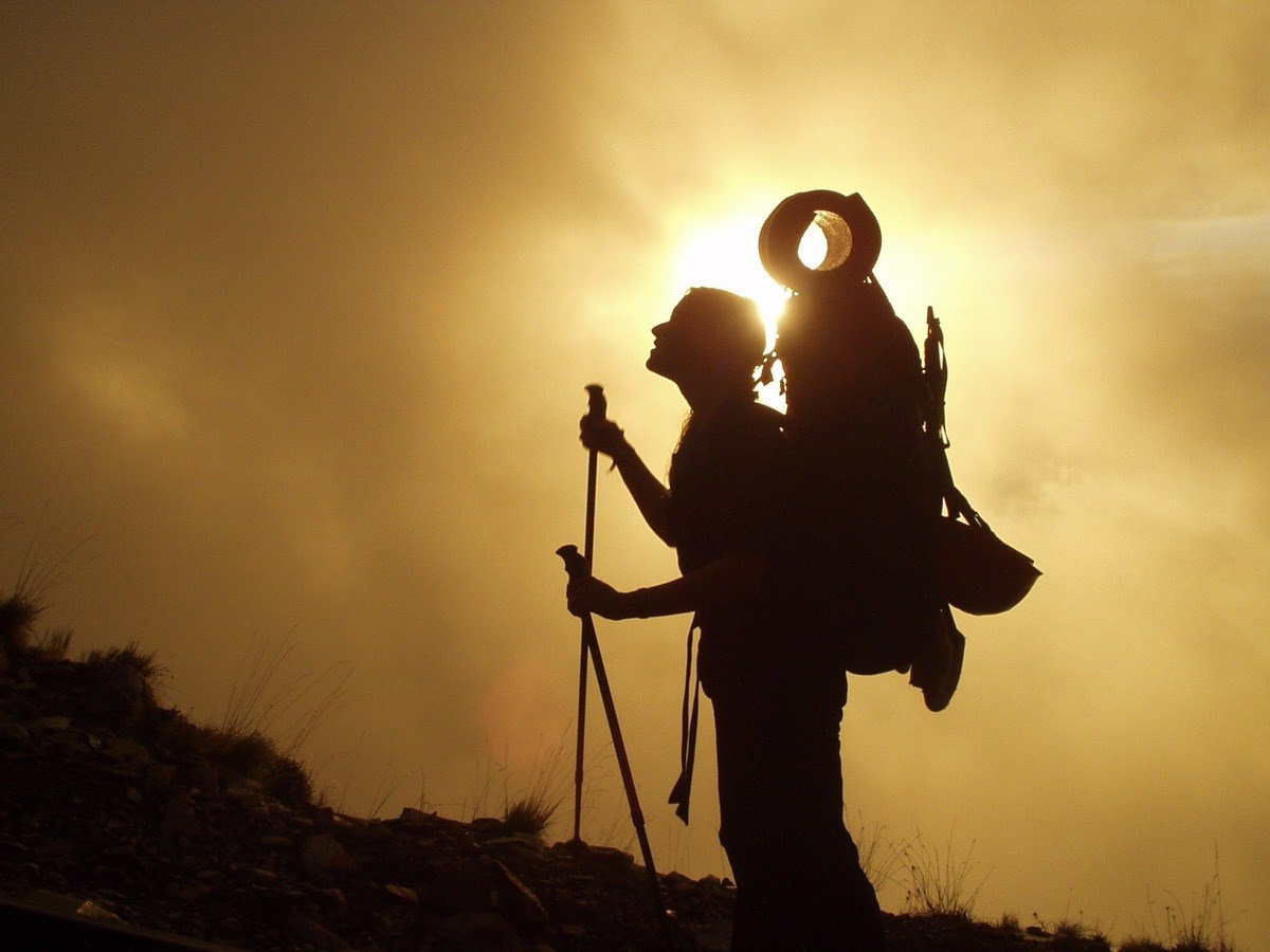
Percorsi selvaggi / wild trails
To make the most of your trekking experience, read the hiker’s tips: useful advice to enjoy the mountains safely.
Circular trekking route between Aosta valley and Piedmont
The Percorsi Selvaggi hiking itinerary follows a circular route through the territory of the Aosta Valley municipalities of Champorcher, Pontboset and Donnas and the Piedmontese municipalities of Quincinetto, Traversella, Vico Canavese and Valprato Soana.
From Pontboset the itinerary crosses at Crest Désot while from Champorcher it can be reached by following a stretch of the Alta Via n. 2; from Donnas you need to arrive by car at Vert and then follow the signs for the Bonze refuge.
The overall length is approximately 73 km, of which 33 km in the Valle d'Aosta area and 40 km in the Piedmont area, and can be covered in approximately 5-7 days of walking for an averagely trained hiker.
Note: the walking difficulty is E (for hikers), with the exception of the sections Chenessy - Col de La Fricolla, Rifugio Bonze - Col de Bonze, Le Bochet - Col de Liet, Lac de Vercoche - Col de Laris, where the difficulty is EE (for expert hikers).
Trail sections in Aosta Valley
| section | signpost | height difference + | difficulty | time | location |
|---|---|---|---|---|---|
| Champorcher - Col de la Fricolla | AV2 - 4 | 1350 m | EE | 4h56 | Champorcher |
| Champorcher - Col Laris | 4F - AV2 - 4 | 1406 m | E | 5h04 | Champorcher |
| Col de Bonze - Col Laris | 4AV2 - 4 - 4A - 4F | 3545 m | EE | 15h07 | Donnas/Champorcher |
| Crest-Désot - Col de Bonze | 4 - 4A | 1948 m | E | 6h57 | Pontboset/Donnas |
| Crest-Désot - Col de la Fricolla | AV2 | 1584 m | E | 4h20 | Pontboset |
Before tackling the route it is necessary to check the opening and availability of the stopover points.
Find points of interest on the map:
At the top left, you can choose the map background:
- "map" - with or without “relief” (level curves) - showing toponyms and streets
- “satellite” which presents the satellite image of the area.
At the top right, the funnel-shaped symbol allows you to choose the points of interest along the route (only in Valle d'Aosta) to be displayed on the map. Click on the funnel again to close the legend.
If you wish to find out more, by clicking on the identified point you can access the corresponding page.


DSC_5352_Enzo_Massa_Micon.jpg?v=638290817060000000)


